UN
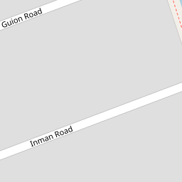
10 Inman Road
£ 73,000
Description
We don't have a Description for this property.
- Bedrooms
- 3
- Bathrooms
- 0

Leaflet © OpenStreetMap contributors
The heatmap indicates the level of crime in the area. The color of the heatmap indicates the crime severity and recency.
Metrics Year-on-Year
- Average area value
- 123,750.00 £Decreased by 33.18 %
- Average area rental value
- 768.00 £/moDecreased by 3.15 %
- Est rental Yield
- 7.45 %Increased by 44.94 %
- Crime Rate
- 5.00 %Unchanged by 0.00 %
from 185,189.00 £
from 793.00 £/mo
from 5.14 %
from 5.00 %
Nearby Schools
| Name | Type | Ofsted | Distance |
|---|---|---|---|
| English Martyrs' Catholic Primary School | Voluntary Aided School | Good | 0.61 KM |
| St Elizabeth'S Catholic Primary School | Voluntary Aided School | Good | 0.67 KM |
| Lander Road Primary School | Community School | Good | 0.68 KM |
| St Philip'S Church Of England Controlled Primary School | Voluntary Controlled School | Good | 0.76 KM |
| Our Lady Star Of The Sea Catholic Primary School | Voluntary Aided School | Good | 0.80 KM |
Images
Nearby Streets
| Name | Average Price | Average Sqft | Distance |
|---|---|---|---|
| Wood Street | £ 145,000 | 0 | 0.00 KM |
| Selsey Road | £ 0 | 0 | 0.00 KM |
| Snowdrop Mews | £ 0 | 0 | 0.00 KM |
| Oxford Avenue | £ 0 | 0 | 0.00 KM |
| School Lane | £ 0 | 0 | 0.00 KM |
Nearby Transport
| Name | NLC | TLC | Distance |
|---|---|---|---|
| Seaforth And Litherland | 2250 | SFL | 0.79 KM |
| Bootle New Strand | 2195 | BNW | 1.56 KM |
| Bootle Oriel Road | 2239 | BOT | 2.28 KM |
| Waterloo (Merseyside) | 2133 | WLO | 3.12 KM |
| Kirkdale | 2245 | KKD | 3.47 KM |
Nearby Listings
| Address | Price | Type | Score | Distance |
|---|---|---|---|---|
| Inman Road, Liverpool, L21 | £ 200,000 | BUY | 8 / 10 | 0.00 KM |
| Cunard Road, Litherland, Merseyside, L21 | £ 160,000 | BUY | Unknown | 0.03 KM |
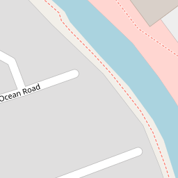
| Ocean Road, Liverpool, L21 | £ 120,000 | BUY | 5 / 10 | 0.12 KM |
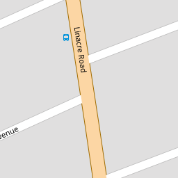
| Linacre Road, Liverpool | £ 95,000 | BUY | Unknown | 0.13 KM |
| Richmond Court, Liverpool | £ 220,000 | BUY | 7 / 10 | 0.19 KM |
Nearby Properties
| Address | Price | Distance |
|---|---|---|
| 29 Inman Road | £ 121,500 | 0.00 KM |
| 10 Inman Road | £ 73,000 | 0.00 KM |
| 26 Inman Road | £ 100,000 | 0.00 KM |
| 6 Inman Road | £ 90,000 | 0.00 KM |
| 4 Inman Road | £ 112,000 | 0.00 KM |